A couple of weeks ago, a workshop took place in Aarhus, Denmark to celebrate the launch of the Itiner-e dataset of roads in the Roman Empire. The dataset and website were created by a team led by Tom Brughmans, Pau de Soto Cañamares and Adam Pažout, and can be found here: itiner-e.org
The team of Viabundus Denmark, also located in Aarhus, cooperates with the developers of Itiner-e, as both projects are concerned with similar topics (digitalizing historical road networks) and therefore face similar problems. Especially how to keep a collaborative digital project alive, how to correct and extend the data, and how to maintain a web platform after the initial project funding has ended, are questions which concern many digital datasets, and the Itiner-e and Viabundus projects in particular. For this reason, the workshop invited a group of archaeologists and historians as well as other scholars specialized in all premodern time periods, from various institutes in Europe and the USA, to discuss what digital resources about historical roads should ideally look like, and to explore possibilities of collaboration and the maintenance of a community of interested scholars and students.
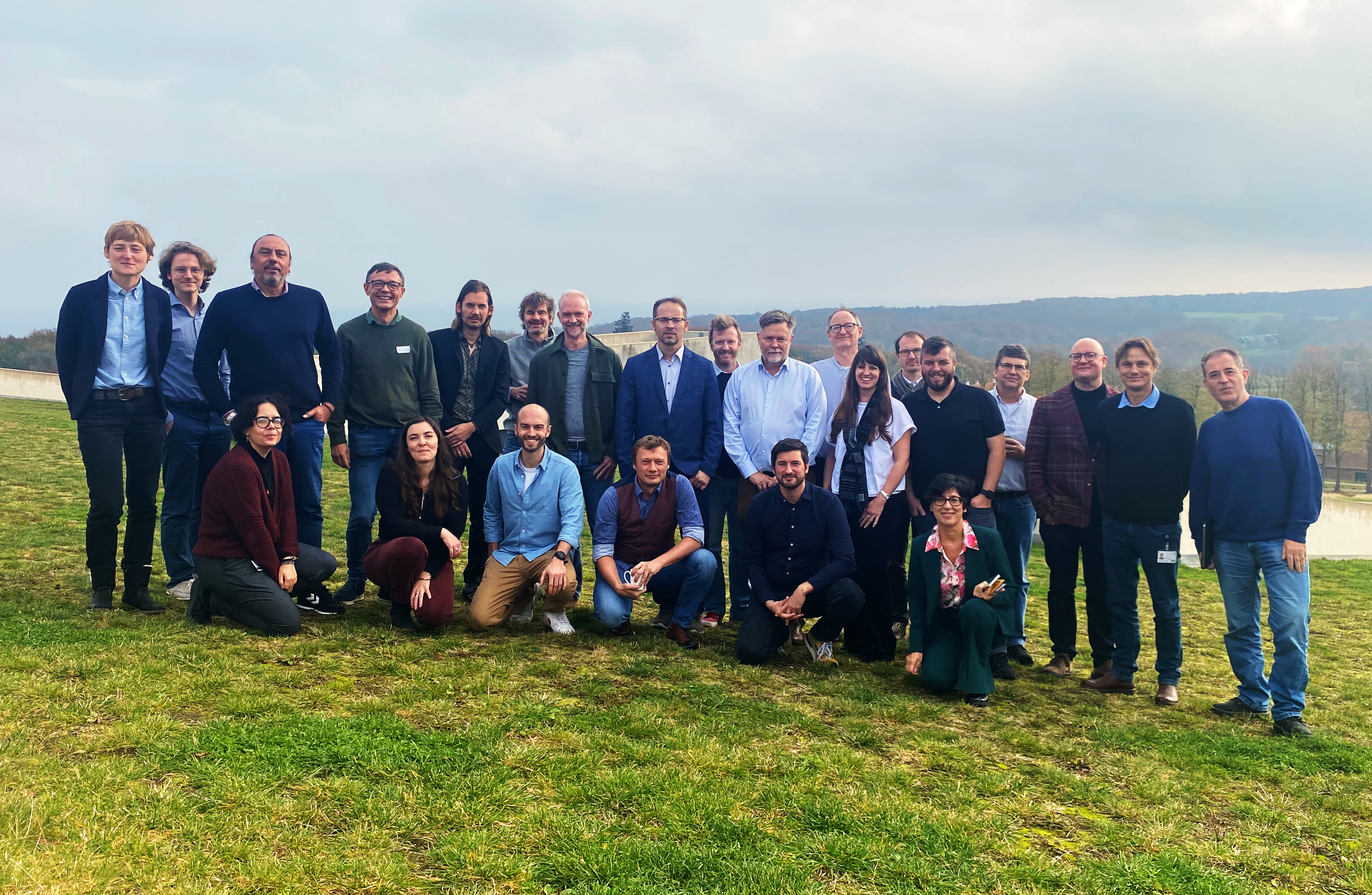
 The participants of the Itiner-e and Viabundus workshop on the roof of Moesgaard Museum.
The first day of the conference took place at the University of Aarhus and encompassed presentations of Itiner-e and Viabundus by the developing teams. In the case of Viabundus, Kasper H. Andersen (PI Viabundus Denmark), Bart Holterman (developer and data manager) and Johan Åhlfeldt (University of Göteborg, working on the premodern Swedish road system) presented various aspects of the Viabundus project and dataset. The Viabundus session was followed by presentations and discussions of Itiner-e, and thereafter the conference delegates were given the opportunity to test the web platform and to give detailed feedback for the further development of both datasets.
Especially because both platforms depart from a similar question, but differ in time and geographical space and in the focus given to certain aspects of the road network and how these are presented digitally, a close comparison of the two platforms from the point of view of the user was very useful for further development and integration of these resources. The day concluded with a visit of the beautiful exhibition made by the Itiner-e team in the museum of Ancient Art at Aarhus University and the video accompanying the website.
The second day took place at Moesgaard Museum, where a brainstorming session was organized about how a community of researchers interested in premodern roads could be built up and how to keep the projects alive in the future.
One of the possible outcomes will be the organization of a joint Itiner-e and Viabundus series of workshops focusing on roads and mobility in the past. The workshop ended with a visit to the magnificent permanent archaeological and temporary exhibitions at Moesgaard Museum and promising perspectives of further collaboration between Viabundus and Itiner-e.